Photo by Gabe Castro-Root
Mount Diablo has long felt like a place of mystery to me.
As a young child, I remember being surprised to see a sprinkling of snow on a mountain so close to San Francisco. Snow? In the Bay Area? I didn’t know that was possible.
More recently, sitting by the windows in the LWHS library, I’d gaze at the mountain’s silhouette in the distance and wonder what I’d find if I ever made it out there.
For some high schoolers, Mount Diablo is probably best known as the site of an epic battle in Rick Riordan’s novel The Lost Hero, part of the Percy Jackson spin-off series The Heroes of Olympus. But mythological battles notwithstanding, the mountain is a quiet, peaceful place for a rewarding hike.
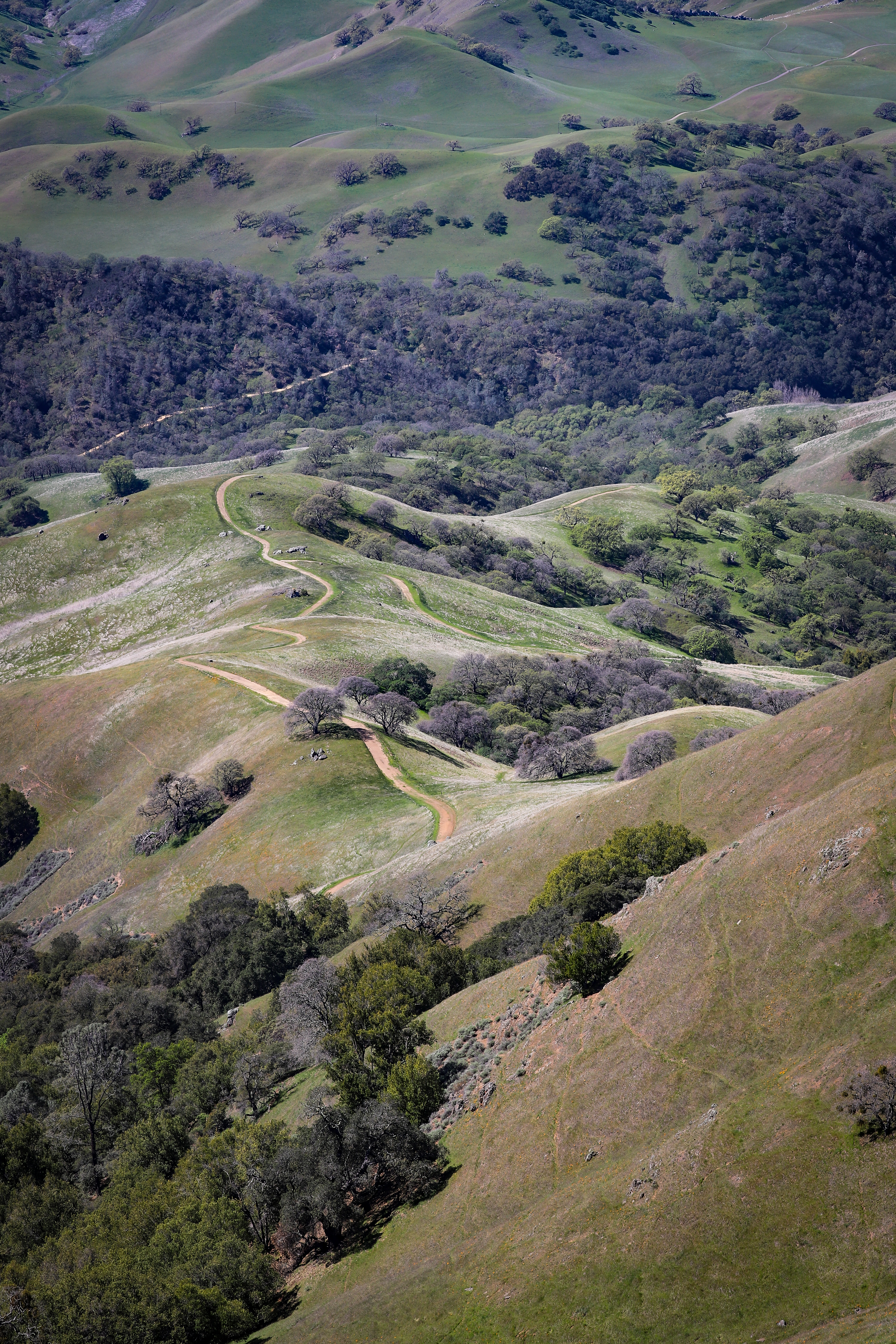
Photo by Gabe Castro-Root
In March, a friend and I trekked the Mitchell Canyon Loop to the summit of Mount Diablo, a 13-mile excursion that connects several of the park’s myriad trails into an exhausting but worthwhile full-day outing.
The trail begins at the Mitchell Canyon Visitor Center, on the north side of Mount Diablo State Park. Parking there costs $6 and is on the honor system. Restrooms at the visitor center offer a communal bar of soap, so bring hand sanitizer.
The beginning and end of the trail is mostly flat, meaning whichever direction you decide to go will give you time to warm up before you hit the more demanding uphill sections. We used the app AllTrails to guide us, and cell reception proved to be surprisingly good on the mountain. For those less inclined to rely on a phone, the trails are well marked and, if you go on a weekend, there are easy-to-follow maps available at the visitor center. (The visitor center itself remains closed, but a parking attendant is there on Saturday and Sunday to guide hikers.)
Clayton Quarry, which provides material for the crushed stone supplier Cemex, sits near the beginning of the trail. It dominates the last part of the drive to the visitor center but is only visible for a short stretch of the hike.
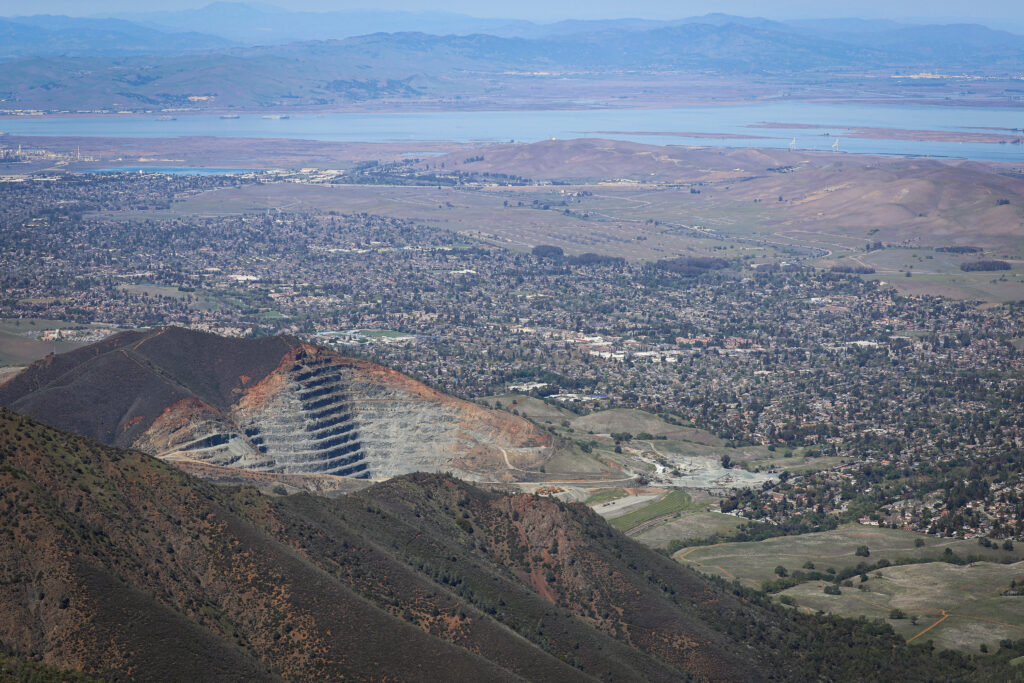
Photo by Gabe Castro-Root
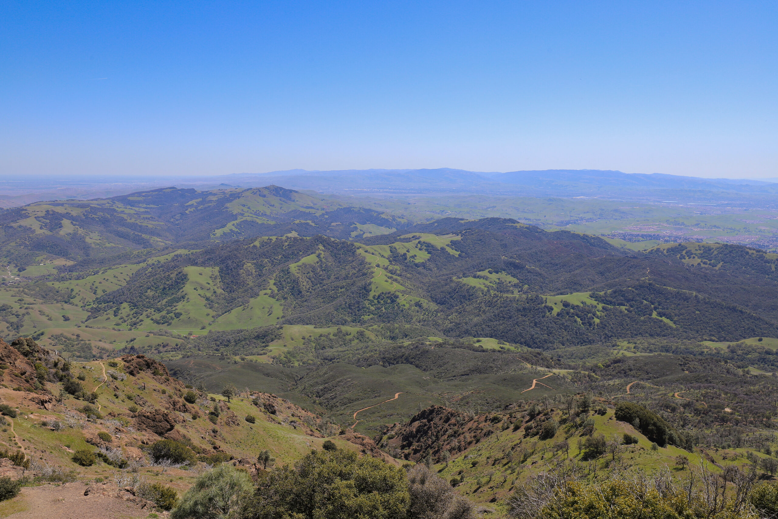
The summit of Diablo remains hidden behind lesser peaks for much of the way up, giving us false hope of being almost there several times as we climbed high above Walnut Creek and the East Bay hills. But after passing through Juniper Campground and a narrow, steep incline, the top of the mountain comes into full view for the final quarter-mile ascent.
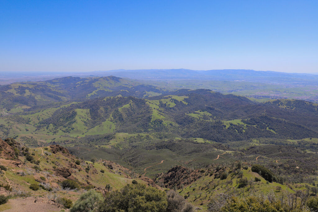
At 3,849 feet, the summit of Mount Diablo is the second highest point in the Bay Area. (Mount Hamilton, just east of San Jose, is the tallest at 4,265 feet.) We were lucky to have clear skies, and the views from the top made every bit of the climb worth it. The snow-capped Sierras were just barely visible on the eastern horizon. Downtown San Francisco — with low fog shrouding the Golden Gate Bridge — gleamed above rolling hills to the west. Hang gliders circled overhead. On an exceptionally clear day, Yosemite is visible with binoculars.
For years, legend had it that the view from Mount Diablo was one of the most expansive in the world, in terms of the amount of land visible, second only to Mount Kilimanjaro in Tanzania. The myth has since been debunked, but from the top it’s easy to see why it persisted for so long.
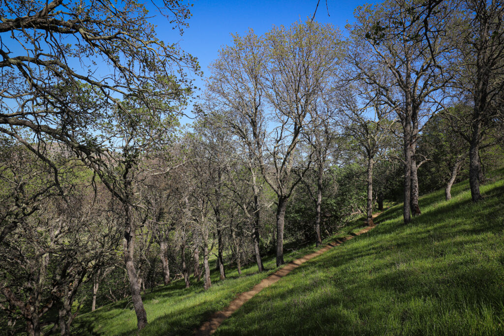
Photo by Gabe Castro-Root
The Mount Diablo Visitor Center, a stone structure that resembles a small lighthouse on top of the mountain, is open for business and sells snacks and drinks to the gaggle of hikers and bikers who congregate there to take in the scenery. On the far side of the visitor center is Devil’s Pulpit, a rocky outcropping with expansive views where we ate lunch before beginning our trek down the mountain.
The Mitchell Canyon Loop is a hard hike. It has steep ups and downs, and both of us slipped on our descent. But trails abound on the mountain, and there are plenty of other ways to make it to the top; you can even drive there. It’s worth the climb.

